Show HN: Open-source site base plans from any US addresshttps://basesheet.site
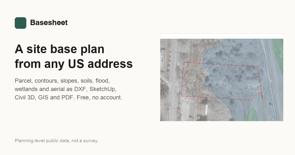
I built this tool for a landscape architect friend. Enter a US address and you get a site base plan: parcel line, LiDAR contours, flood zones, wetlands, soils and an aerial, as DXF, SketchUp, GIS and PDF files. Code is MIT licensed: https://github.com/hthillman/site-base-plan Comments URL: https://news.ycombinator.com/item?id=50183690 Points: 2 # Comments: 0